Here’s what local officials expect from Hurricane Isaias
AUGUSTA, Ga. (WRDW/WAGT) - As Hurricane Isaias moves toward the Florida Gulf Coast, emergency officials in the CSRA say they don’t expect a direct hit but are preparing for a wet and windy weekend.
The Augusta Emergency Management Agency says the most significant impacts are expected to stay west of Richmond County, but the area could still see 1 to 3 inches of rain, with some spots getting up to 5 inches.
That raises the risk of localized flash flooding in low-lying or poorly drained areas, along with gusts over 40 mph that could bring down trees and power lines. There’s also a low risk of isolated, generally weak tornadoes, mainly Saturday.
Richmond County’s emergency management team met Thursday afternoon to coordinate departments and resources and will continue monitoring conditions through the weekend. Emergency Management Director Kymber Keaton said the setup for this storm is different from Hurricane Helene.
How Army Corps of Engineers is preparing for weekend rainfall
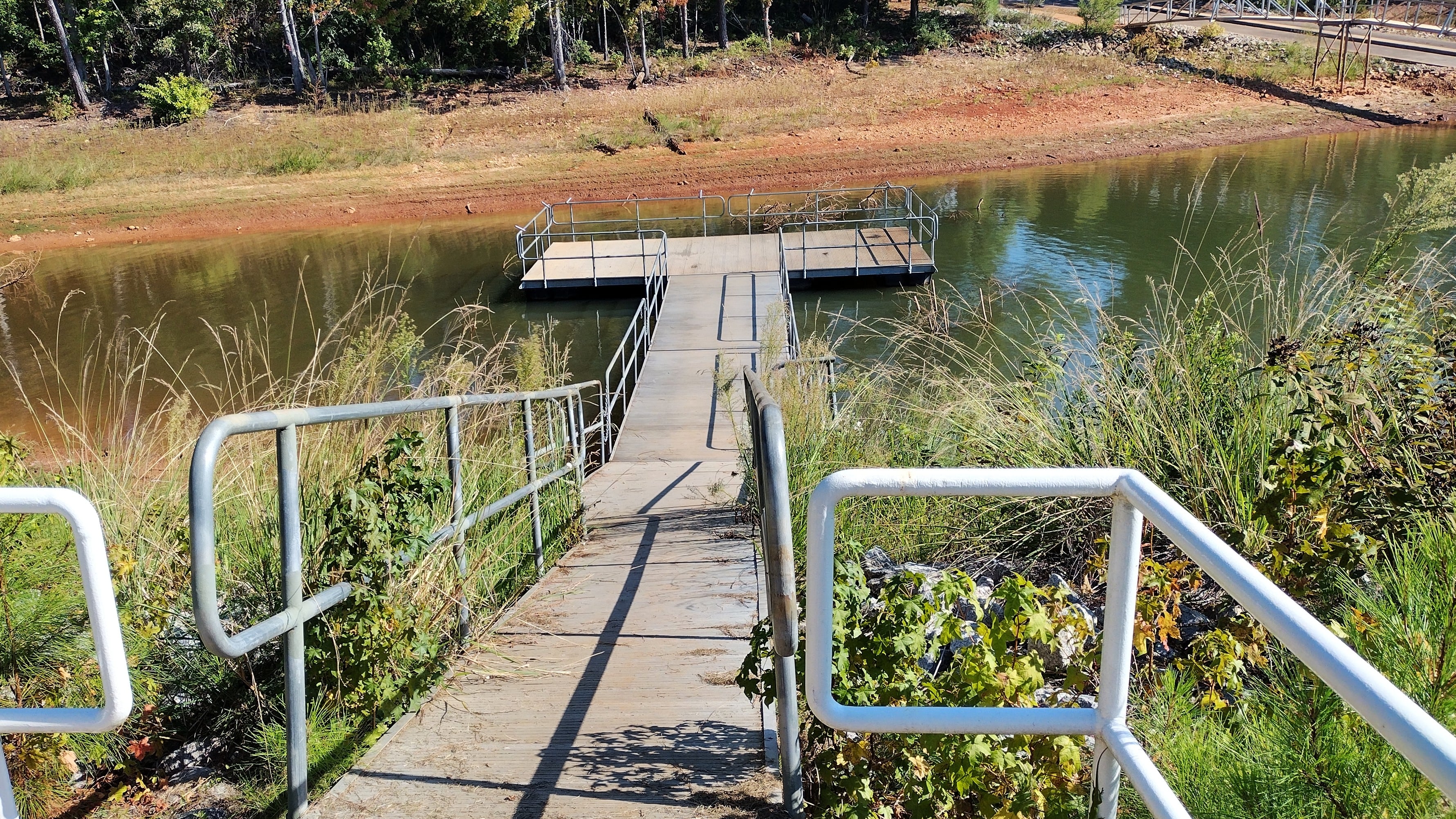
The U.S. Army Corps of Engineers says Hurricane Isaias’ forecast rainfall alone won’t determine whether water is released from reservoirs along the Savannah River.
“The weather is completely different than it was for Helene. This scenario, you have it projecting to go northbound, very westward. The wind speed is not the same. We’re looking at a completely different system here,” Keaton said.
Keaton said heavy rain is expected to be the main hazard for the region given its location.
“We’re just keeping an eye on the heavy rain. That appears to be the main hazard that we would get in this region, based on how far eastbound we are. So we’re looking at what the impacts are of heavy rain from Friday night all the way until Sunday. Potentially could be some flooding or localized flooding in low-lying areas,” Keaton said.
Augusta Engineering Director Dr. Hameed Malik told us his crews are still looking at what might be needed on the ground.
“We are still reviewing potential impact and early planning internal conversation,” he said. He added that he may have more answers Friday.
He said if the area gets around 2 inches of spread out, then the system should be able to handle it.
But if that same amount comes down in 2-3 hours, then some areas might see localized short-term ponding or flooding. That’s because it would take time for that volume of water to pass through the system, he said.
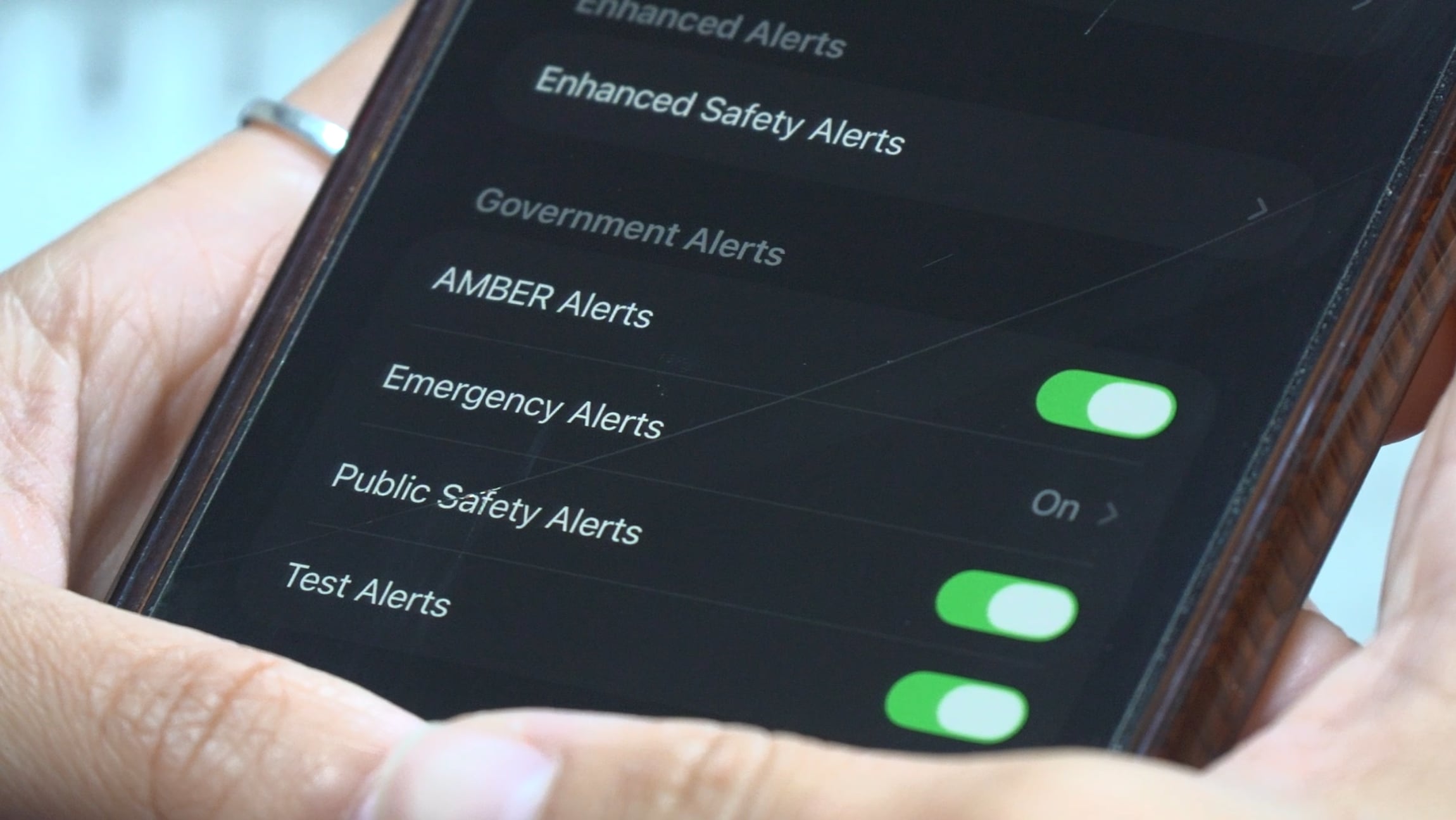
As storm nears, here’s how to sign up for safety alerts across the CSRA
Several local counties have mass notification systems if you care to sign up, and some of them are asking every resident to register.
As part of storm preparations, Augusta Transit will not operate on Saturday, Oct. 10, because of high winds. Instead, two transport vans will be staged at the Gordon Highway and Deans Bridge Road transfer point and the Broad Street Transfer Facility to take people to shelter facilities only. Shelter clearance is required and is the responsibility of each rider.
In Columbia County, emergency officials say that after reviewing the forecast with the National Weather Service, they do not expect to activate their emergency operations center but are ready to do so if needed.
Local and county agencies are urging residents to take simple precautions at home ahead of the rain and wind. Recommendations include charging portable battery packs, checking flashlights and restocking batteries, and making sure first aid kits are stocked. Officials also advise moving vehicles away from trees or large branches, bringing outdoor furniture and decorations inside or securing them, securing trash cans and fall decorations, clearing gutters and drainage areas of debris, and trimming dead tree branches, especially those hanging over homes.
During the storm, residents are urged to avoid unnecessary travel, never drive through standing or flooded water, and take shelter in a sturdy building away from windows and doors. Afterward, officials warn people not to touch any downed or low-hanging wires and to check with their power company about restoration if an outage occurs.
Check forecast, conditions on our streaming weather channel
Worried about the weather? Watch a live feed from Augusta Weather 24/7, our around-the-clock digital weather channel.

Storm-related damage, blocked drainage and service issues in Augusta-Richmond County can be reported through the Augusta 311 system.
For life-threatening emergencies, call 911. Residents are encouraged to follow official Augusta-Richmond County and Columbia County channels, as well as the National Weather Service, for updated forecasts and any changes to local operations.
How to prepare your home
Officials say there are steps residents should take to prepare for heavy rain and wind this weekend:
- Charge batteries and have flashlights ready
- Stock your first aid kit and protect important documents from water damage
- Move vehicles away from trees and avoid driving on flooded roads
- Secure outdoor furniture
- Clear gutters and downspouts, and trim back dead tree branches
- Secure important documents in waterproof containers
Copyright 2026 WRDW/WAGT. All rights reserved.